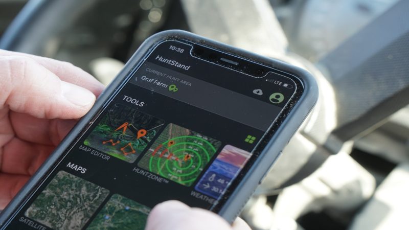
Smartphone technology has changed the way many hunters play the game each time they step into the woods. Mapping apps are the latest rage, affording hunters a wealth of information about the land they plan to hunt, long before they ever put boots on the ground.
But for all the information found in these apps, there are some basics you want to make sure you don’t miss. Here’s a look at 4 features your hunting map app should have.
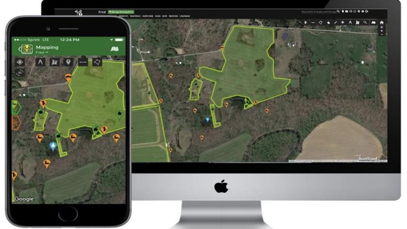
1. Property Boundaries
To keep you safe and legal, your mapping app should have property boundaries included. Many hunters learn the importance of this feature the hard way.
The best apps have this feature. In it you’ll find property info, boundary information, property owner names, property size and property perimeter.
It’s the perfect feature to show you where you are in relation to where you need to be.
Knowing a property owners name goes a long ways when it comes to knocking on doors and build relationships as you seek out hunting permission.
2. Offline Mapping
Let’s be honest, many of the places we hunt don’t come with adequate cell service. We go in deep to leave the crowds behind, and this often means leaving behind our ability to stay connected.
That’s why it’s so important to have a mapping app that allows you to go offline. Offline mapping allows you to ditch the GPS and work off your saved maps within your phone.
No signal. No problem. Just be sure your phone has this feature.
3. Area Measurement
An area measurement tool can be the food plot manager’s best friend. You can use this tool to accurately measure the area of any shape.
This is great for determining how much seed or fertilizer you may need for a field or food plot.
No more walking it off, or other time-consuming tactics to layout a plot. Just use the area measurement tool on your hunting map app.
Want to see how many acres a particular piece of public ground is? No problem. Just measure it with an area management tool and you’re good to go.
4. Distance Measurement
The one tool I use more than any other on my mapping app is the distance measurement tool. The options are endless with this one. From navigating the way back to the truck, to narrowing down shot distance opportunities, to knowing how close you are hunting to your buddy’s stand – this feature does all the work for you.
This tool can measure the distance between any two points, or a series of points, in feet, yards, or meters. So whether you’re heading out, or trying to find your way back, this feature can be a lifesaver.
Last Word
What about you? What are the tools you rely on the most for navigating ground, maintaining food plots, and scouting new lands?
Comment below and let us know what app and features are your favorites.